2015
SX8353 : Bridleway, Barberry Water valley
taken 9 years ago, near to Capton, Devon, England
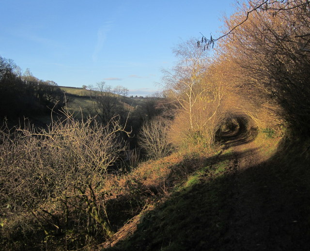
Bridleway, Barberry Water valley
Dittisham Bridleway 10 running along the slopes of the Barberry Water valley, and approaching a tunnel of low trees.
 Map © Crown Copyright")
TIP: Click the map for more Large scale mapping
- Grid Square
- SX8353, 34 images (more nearby 🔍)
- Photographer
- Derek Harper (more nearby)
- Date Taken
- Tuesday, 17 February, 2015 (more nearby)
- Submitted
- Tuesday, 24 February, 2015
- Subject Location
-
OSGB36:
 SX 8333 5366 [10m precision]
WGS84: 50:22.2742N 3:38.5175W - Camera Location
-
OSGB36: SX 8331 5365
- View Direction
- Northeast (about 45 degrees)