2015
NS0662 : Rough track to pastures below Barone Hill
taken 9 years ago, near to Straad, Bute, Argyll And Bute, Scotland
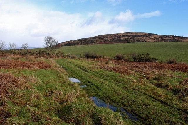
Rough track to pastures below Barone Hill
 Map © Crown Copyright")
TIP: Click the map for more Large scale mapping
- Grid Square
- NS0662, 9 images (more nearby 🔍)
- Photographer
- Alan Reid (more nearby)
- Date Taken
- Saturday, 21 February, 2015 (more nearby)
- Submitted
- Wednesday, 25 February, 2015
- Subject Location
-
OSGB36:
 NS 0610 6278 [10m precision]
WGS84: 55:49.1533N 5:5.7948W - Camera Location
-
OSGB36: NS 0605 6276
- View Direction
- East-northeast (about 67 degrees)