2015
NU0928 : Rough Pasture leading to Hay Hill
taken 9 years ago, near to Warenton, Northumberland, England
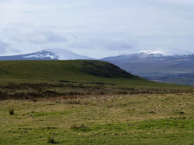
Rough Pasture leading to Hay Hill
Hedgehope Hill and The Cheviot with their snow covering on the horizon.
 Map © Crown Copyright")
TIP: Click the map for more Large scale mapping
- Grid Square
- NU0928, 10 images (more nearby 🔍)
- Photographer
- Russel Wills (more nearby)
- Date Taken
- Wednesday, 25 February, 2015 (more nearby)
- Submitted
- Wednesday, 25 February, 2015
- Subject Location
-
OSGB36:
 NU 090 289 [100m precision]
WGS84: 55:33.2228N 1:51.5148W - Camera Location
-
OSGB36: NU 090 289
- View Direction
- West-southwest (about 247 degrees)