2014
NM9060 : Glen Tarbert
taken 10 years ago, 4 km NNE of Kilmalieu, Highland, Scotland
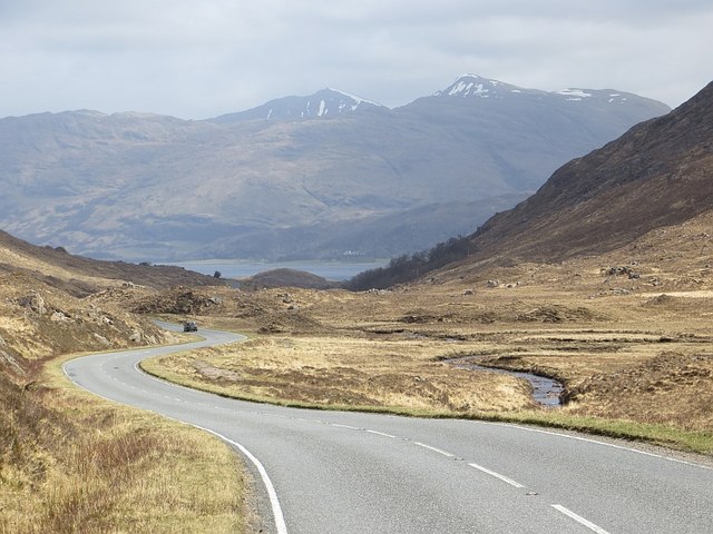
Glen Tarbert
The A861 descends to Loch Linnhe.
 Map © Crown Copyright")
TIP: Click the map for more Large scale mapping
- Grid Square
- NM9060, 7 images (more nearby 🔍)
- Photographer
- Richard Webb (more nearby)
- Date Taken
- Thursday, 17 April, 2014 (more nearby)
- Submitted
- Thursday, 26 February, 2015
- Subject Location
-
OSGB36:
 NM 9064 6017 [10m precision]
WGS84: 56:41.1736N 5:25.1988W - Camera Location
-
OSGB36: NM 9044 6021
- View Direction
- East-southeast (about 112 degrees)