2015

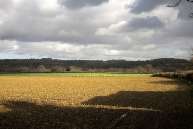
ST3307 : Farmland near Forton

taken 9 years ago, near to Forton, Somerset, England

Farmland near Forton
From the same spot as ST3307 : Cranway Lane, looking to the right.

Creative Commons Licence [Some Rights Reserved]   © Copyright Derek Harper and licensed for reuse under this Creative Commons Licence.
Geographical Context: Lowlands Farm, Fishery, Market Gardening Woodland, Forest other tags: Farmland Sheep Pasture Arable Field Woods Hedge Click a tag, to view other nearby images.
This photo is linked from: Automatic Clusters: · Forton [16] · Looking [4] · Near Forton [2] Other Photos: · Cranway Lane ·
1:50,000 Modern Day Landranger(TM) Map © Crown Copyright
+
+
1:50,000 Modern Day Landranger(TM) Map © Crown Copyright
TIP: Click the map for more Large scale mapping
Grid Square
ST3307, 19 images   (more nearby 🔍)
Photographer
Derek Harper   (more nearby)
Date Taken
Tuesday, 24 February, 2015   (more nearby)
Submitted
Thursday, 26 February, 2015
Subject Location
OSGB36: geotagged! ST 3361 0736 [10m precision]
WGS84: 50:51.7152N 2:56.6814W
Camera Location
OSGB36: geotagged! ST 3343 0733
View Direction
EAST (about 90 degrees)
Clickable map
+
NW N NE
W Go E
SW S SE
Image classification(about): Geograph
This page has been viewed about 7 times
You are not logged in login | register