2015

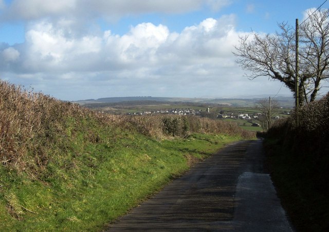
SX3473 : Lane to Whiteford Farm

taken 9 years ago, near to Stoke Climsland, Cornwall, England

Lane to Whiteford Farm
In the distance is the village of Stoke Climsland, largely in SX3674.

Creative Commons Licence [Some Rights Reserved]   © Copyright Derek Harper and licensed for reuse under this Creative Commons Licence.
This photo is linked from: Automatic Clusters: · Lane [4] · Farm [2] ·
1:50,000 Modern Day Landranger(TM) Map © Crown Copyright
+
+
1:50,000 Modern Day Landranger(TM) Map © Crown Copyright
TIP: Click the map for more Large scale mapping
Grid Square
SX3473, 14 images   (more nearby 🔍)
Photographer
Derek Harper   (more nearby)
Date Taken
Wednesday, 4 March, 2015   (more nearby)
Submitted
Wednesday, 4 March, 2015
Subject Location
OSGB36: geotagged! SX 3481 7345 [10m precision]
WGS84: 50:32.2461N 4:19.9479W
Camera Location
OSGB36: geotagged! SX 3477 7342
View Direction
Northeast (about 45 degrees)
Clickable map
+
NW N NE
W Go E
SW S SE
Image classification(about): Geograph (Second Visitor for SX3473) · First in 5 Years (TPoint) (about)
This page has been viewed about 26 times
You are not logged in login | register