2015
SP5465 : Braunston-Jurassic Way
taken 9 years ago, near to Braunston, West Northamptonshire, England
This is 1 of 4 images, with title Braunston-Jurassic Way in this square
Braunston-Jurassic Way
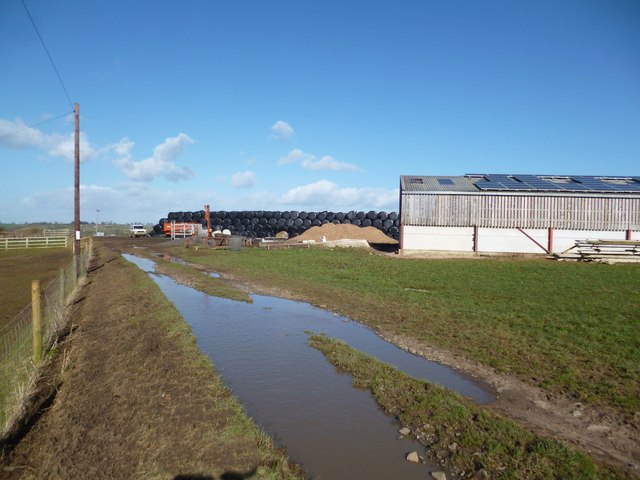
Rarm buildings at the top of the hill
 Map © Crown Copyright")
TIP: Click the map for more Large scale mapping
- Grid Square
- SP5465, 335 images (more nearby 🔍)
- Photographer
- Ian Rob (more nearby)
- Date Taken
- Monday, 2 March, 2015 (more nearby)
- Submitted
- Friday, 6 March, 2015
- Subject Location
-
OSGB36:
 SP 5477 6534 [10m precision]
WGS84: 52:17.0089N 1:11.9129W - Camera Location
-
OSGB36: SP 5475 6532
- View Direction
- Northeast (about 45 degrees)