2015
SO9470 : Junction of Deansway and Whitford Road, Bromsgrove, Worcs
taken 9 years ago, near to Bromsgrove, Worcestershire, England
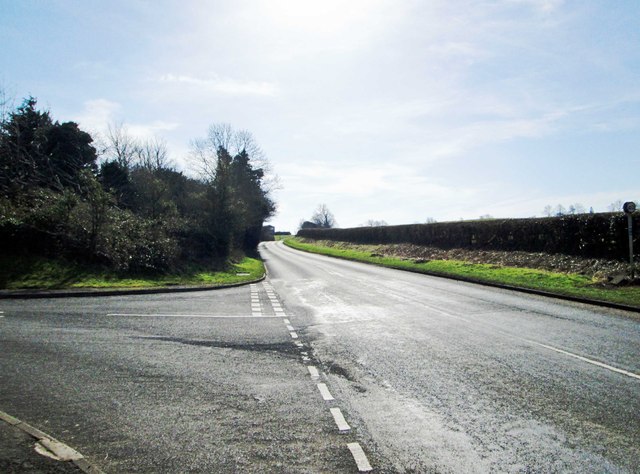
Junction of Deansway and Whitford Road, Bromsgrove, Worcs
Deansway, a residential road, is on the left. The other road is Whitford Road, which runs on the western edge of Bromsgrove's built-up area.
 Map © Crown Copyright")
TIP: Click the map for more Large scale mapping
- Grid Square
- SO9470, 51 images (more nearby 🔍)
- Photographer
- P L Chadwick (more nearby)
- Date Taken
- Saturday, 7 March, 2015 (more nearby)
- Submitted
- Monday, 9 March, 2015
- Subject Location
-
OSGB36:
 SO 948 704 [100m precision]
WGS84: 52:19.9052N 2:4.6639W - Camera Location
-
OSGB36: SO 948 704
- View Direction
- South-southwest (about 202 degrees)