2015
SN7586 : Nant-y-moch dam
taken 9 years ago, 5 km N of Ponterwyd, Ceredigion/Sir Ceredigion, Wales
This is 1 of 11 images, with title Nant-y-moch dam in this square
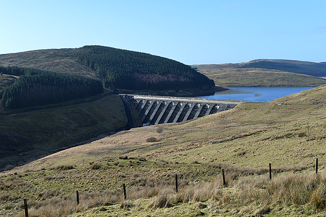
Nant-y-moch dam
Taken on a fine day in early spring.
 Map © Crown Copyright")
TIP: Click the map for more Large scale mapping
- Grid Square
- SN7586, 88 images (more nearby 🔍)
- Photographer
- Nigel Brown (more nearby)
- Date Taken
- Tuesday, 10 March, 2015 (more nearby)
- Submitted
- Tuesday, 10 March, 2015
- Subject Location
-
OSGB36:
 SN 7545 8621 [10m precision]
WGS84: 52:27.5755N 3:50.0728W - Camera Location
-
OSGB36: SN 7611 8583
- View Direction
- West-northwest (about 292 degrees)