2014
SP8005 : Farmland, Longwick
taken 9 years ago, near to Meadle, Buckinghamshire, England
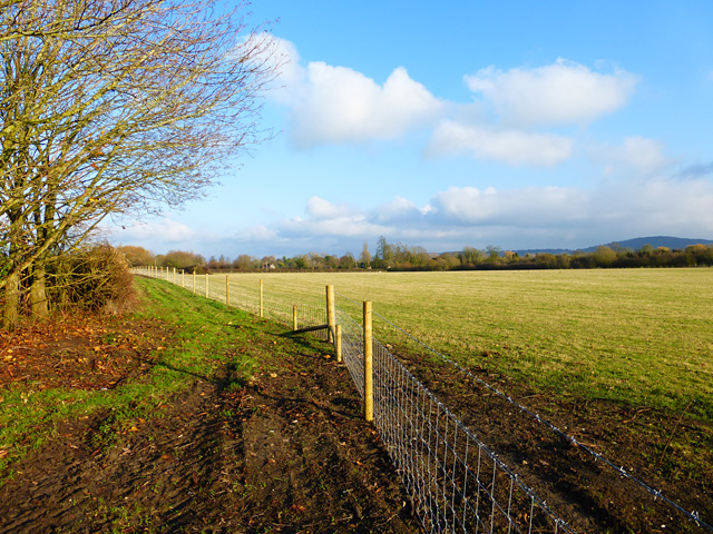
Farmland, Longwick
Pasture and new fencing beside a footpath approaching Meadle. The Chiltern scarp is to the right of picture.
 Map © Crown Copyright")
TIP: Click the map for more Large scale mapping
- Grid Square
- SP8005, 14 images (more nearby 🔍)
- Photographer
- Andrew Smith (more nearby)
- Date Taken
- Sunday, 30 November, 2014 (more nearby)
- Submitted
- Thursday, 12 March, 2015
- Subject Location
-
OSGB36:
 SP 8014 0585 [10m precision]
WGS84: 51:44.7377N 0:50.4374W - Camera Location
-
OSGB36: SP 8004 0580
- View Direction
- East-northeast (about 67 degrees)