2007
NS8829 : Sheepfold by Standing Burn
taken 17 years ago, 5 km ESE of Douglas, South Lanarkshire, Scotland
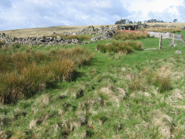
Sheepfold by Standing Burn
 Map © Crown Copyright")
TIP: Click the map for more Large scale mapping
- Grid Square
- NS8829, 4 images (more nearby 🔍)
- Photographer
- Chris Wimbush (more nearby)
- Date Taken
- Saturday, 19 May, 2007 (more nearby)
- Submitted
- Saturday, 19 May, 2007
- Subject Location
-
OSGB36:
 NS 881 292 [100m precision]
WGS84: 55:32.6179N 3:46.4977W - Camera Location
-
OSGB36: NS 8824 2929
- View Direction
- West-southwest (about 247 degrees)