2014
TQ1311 : Chanctonbury Ring from the south
taken 9 years ago, near to Washington, West Sussex, England
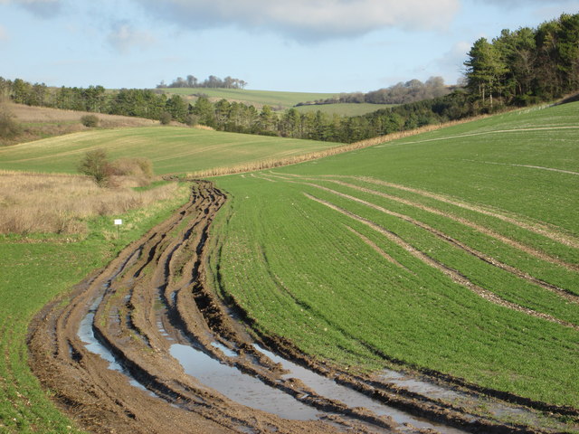
Chanctonbury Ring from the south
 Map © Crown Copyright")
TIP: Click the map for more Large scale mapping
- Grid Square
- TQ1311, 38 images (more nearby 🔍)
- Photographer
- Peter S (more nearby)
- Date Taken
- Sunday, 28 December, 2014 (more nearby)
- Submitted
- Saturday, 14 March, 2015
- Subject Location
-
OSGB36:
 TQ 132 116 [100m precision]
WGS84: 50:53.5839N 0:23.4932W - Camera Location
-
OSGB36: TQ 127 099
- View Direction
- North-northeast (about 22 degrees)