2014
NM4532 : Allt na Teangaidh
taken 10 years ago, near to Balnahard, Isle of Mull, Argyll And Bute, Scotland
This is 1 of 4 images, with title Allt na Teangaidh in this square
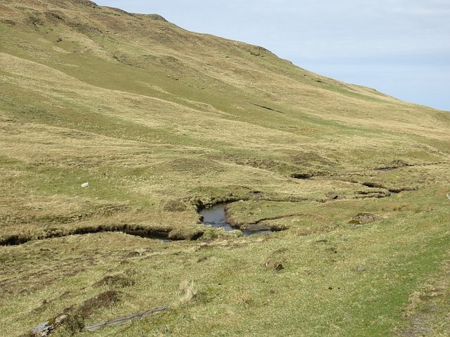
Allt na Teangaidh
Burn on the north side of the B8035 pass.
 Map © Crown Copyright")
TIP: Click the map for more Large scale mapping
- Grid Square
- NM4532, 26 images (more nearby 🔍)
- Photographer
- Richard Webb (more nearby)
- Date Taken
- Tuesday, 15 April, 2014 (more nearby)
- Submitted
- Tuesday, 17 March, 2015
- Subject Location
-
OSGB36:
 NM 4573 3245 [10m precision]
WGS84: 56:24.9349N 6:7.4481W - Camera Location
-
OSGB36: NM 4579 3244
- View Direction
- WEST (about 270 degrees)