2015
NG4929 : Allt Daraich
taken 9 years ago, 3 km from Sconser, Isle of Skye, Scotland
This is 1 of 5 images, with title Allt Daraich in this square
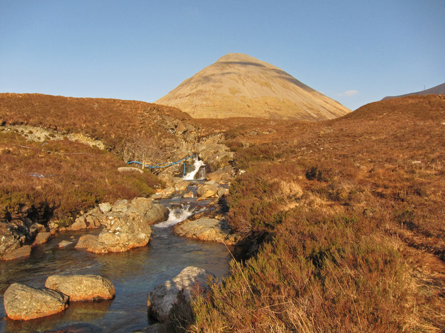
Allt Daraich
The moorland stream drops over several waterfalls before entering a steep sided gorge just before it joins the River Sligachan. The hill beyond is Glamaig.
 Map © Crown Copyright")
TIP: Click the map for more Large scale mapping
- Grid Square
- NG4929, 29 images (more nearby 🔍)
- Photographer
- Richard Dorrell (more nearby)
- Date Taken
- Saturday, 14 March, 2015 (more nearby)
- Submitted
- Friday, 20 March, 2015
- Subject Location
-
OSGB36:
 NG 492 294 [100m precision]
WGS84: 57:17.1818N 6:9.7258W - Camera Location
-
OSGB36: NG 492 294
- View Direction
- East-northeast (about 67 degrees)