2015
TQ2250 : Park Pit
taken 9 years ago, near to Buckland, Surrey, England
This is 1 of 19 images, with title Park Pit in this square
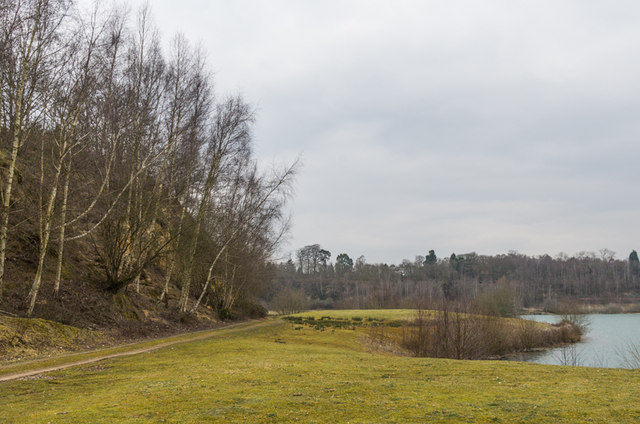
Park Pit
An area of grass on the shores of Park Pit. Park Pit ceased to operate as a sand quarry in 1990 but processing of sand from nearby Tapwood Pit continued until 2014. Plans are being considered for conversion of Park Pit for leisure use.
There is currently no public access to the site, this photo being taken on a private tour arranged for the Betchworth & Buckland Society.
There is currently no public access to the site, this photo being taken on a private tour arranged for the Betchworth & Buckland Society.
 Map © Crown Copyright")
TIP: Click the map for more Large scale mapping
- Grid Square
- TQ2250, 293 images (more nearby 🔍)
- Photographer
- Ian Capper (more nearby)
- Date Taken
- Saturday, 14 March, 2015 (more nearby)
- Submitted
- Saturday, 21 March, 2015
- Subject Location
-
OSGB36:
 TQ 223 503 [100m precision]
WGS84: 51:14.3450N 0:14.8811W - Camera Location
-
OSGB36: TQ 224 502
- View Direction
- North-northwest (about 337 degrees)