2015
SX2886 : Track to Hendragreen
taken 9 years ago, near to Langore, Cornwall, England
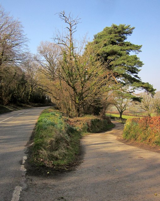
Track to Hendragreen
The lane cuts back at a narrow angle to begin with. This is at the spot where SX2886 : Field by Hendragreen Wood and SX2886 : Field by Hendragreen Wood.
 Map © Crown Copyright")
TIP: Click the map for more Large scale mapping
- Grid Square
- SX2886, 10 images (more nearby 🔍)
- Photographer
- Derek Harper (more nearby)
- Date Taken
- Wednesday, 18 March, 2015 (more nearby)
- Submitted
- Sunday, 22 March, 2015
- Subject Location
-
OSGB36:
 SX 2883 8621 [10m precision]
WGS84: 50:39.0216N 4:25.3594W - Camera Location
-
OSGB36: SX 2886 8621
- View Direction
- WEST (about 270 degrees)