2015
NT5477 : The Cogtail Burn at Athelstaneford Mains
taken 9 years ago, near to Athelstaneford, East Lothian, Scotland
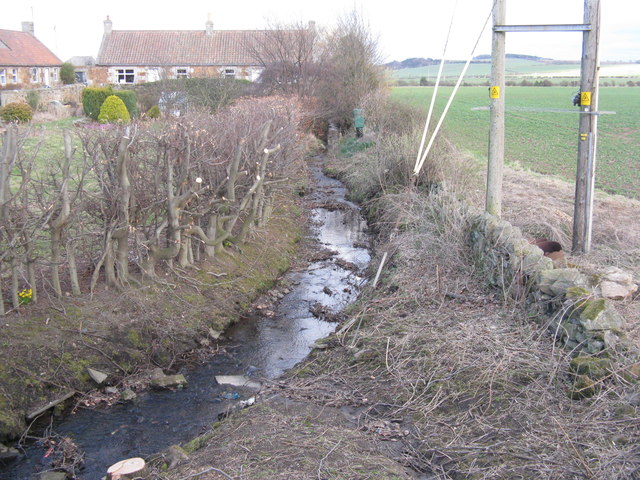
The Cogtail Burn at Athelstaneford Mains
An some extensive hedge trimming.
 Map © Crown Copyright")
TIP: Click the map for more Large scale mapping
- Grid Square
- NT5477, 30 images (more nearby 🔍)
- Photographer
- M J Richardson (more nearby)
- Date Taken
- Friday, 20 March, 2015 (more nearby)
- Submitted
- Sunday, 22 March, 2015
- Subject Location
-
OSGB36:
 NT 5416 7717 [10m precision]
WGS84: 55:59.1181N 2:44.1768W - Camera Location
-
OSGB36: NT 5411 7717
- View Direction
- EAST (about 90 degrees)