2015
SD7176 : Path on Rantree Moss
taken 9 years ago, 3 km from Chapel-le-Dale, North Yorkshire, England
This is 1 of 2 images, with title Path on Rantree Moss in this square
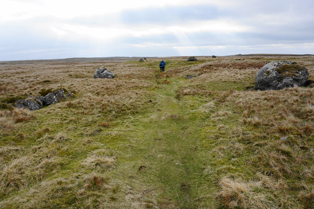
Path on Rantree Moss
Looking west where the sun is breaking through the cloud in places. The path is still lined by limestone boulders.
 Map © Crown Copyright")
TIP: Click the map for more Large scale mapping
- Grid Square
- SD7176, 52 images (more nearby 🔍)
- Photographer
- Bill Boaden (more nearby)
- Date Taken
- Saturday, 14 March, 2015 (more nearby)
- Submitted
- Monday, 23 March, 2015
- Subject Location
-
OSGB36:
 SD 7109 7663 [10m precision]
WGS84: 54:11.0774N 2:26.6693W - Camera Location
-
OSGB36: SD 7112 7665
- View Direction
- Southwest (about 225 degrees)