2015
SX2090 : Lane to Warbstow Cross
taken 9 years ago, near to Warbstow, Cornwall, England
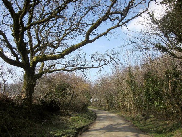
Lane to Warbstow Cross
From the north corner of the green at Downinney, with a belt of trees on the right.
 Map © Crown Copyright")
TIP: Click the map for more Large scale mapping
- Grid Square
- SX2090, 11 images (more nearby 🔍)
- Photographer
- Derek Harper (more nearby)
- Date Taken
- Wednesday, 18 March, 2015 (more nearby)
- Submitted
- Tuesday, 24 March, 2015
- Subject Location
-
OSGB36:
 SX 2088 9031 [10m precision]
WGS84: 50:41.0882N 4:32.2190W - Camera Location
-
OSGB36: SX 2090 9028
- View Direction
- North-northwest (about 337 degrees)