2015
NT1281 : A90 at Ferrytoll
taken 9 years ago, near to North Queensferry, Fife, Scotland
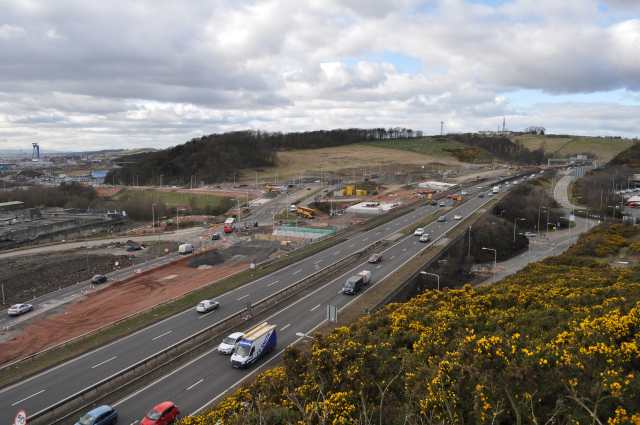
A90 at Ferrytoll
The land to the west of the A90 is undergoing extensive development as work progresses on the Queensferry Crossing.
 Map © Crown Copyright")
TIP: Click the map for more Large scale mapping
- Grid Square
- NT1281, 187 images (more nearby 🔍)
- Photographer
- Robert Struthers (more nearby)
- Date Taken
- Friday, 20 March, 2015 (more nearby)
- Submitted
- Wednesday, 25 March, 2015
- Subject Location
-
OSGB36:
 NT 1242 8177 [10m precision]
WGS84: 56:1.2486N 3:24.3958W - Camera Location
-
OSGB36: NT 1251 8167
- View Direction
- Northwest (about 315 degrees)