1979
TR2336 : Folkestone Inner Harbour
taken 45 years ago, near to Folkestone, Kent, England
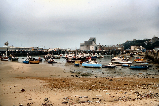
Folkestone Inner Harbour
 Map © Crown Copyright")
TIP: Click the map for more Large scale mapping
- Grid Square
- TR2336, 767 images (more nearby 🔍)
- Photographer
- David Dixon (more nearby)
- Date Taken
- August 1979 (more nearby)
- Submitted
- Wednesday, 1 April, 2015
- Subject Location
-
OSGB36:
 TR 233 360 [100m precision]
WGS84: 51:4.7955N 1:11.2244E - Camera Location
-
OSGB36: TR 233 360
- View Direction
- Southwest (about 225 degrees)