2015
SC3473 : Not quite the Dark Hedge..
taken 9 years ago, near to Quine's Hill, Isle of Man
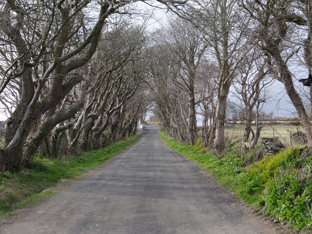
Not quite the Dark Hedge..
.. but give it a few more years.. D0333 : Dark Hedge Bregagh Road nr Stranocum
 Map © Crown Copyright")
TIP: Click the map for more Large scale mapping
- Grid Square
- SC3473, 34 images (more nearby 🔍)
- Photographer
- Ian Paterson (more nearby)
- Date Taken
- Tuesday, 31 March, 2015 (more nearby)
- Submitted
- Wednesday, 1 April, 2015
- Subject Location
-
OSGB36:
 SC 341 735 [100m precision]
WGS84: 54:7.8739N 4:32.3890W - Camera Location
-
OSGB36: SC 342 735
- View Direction
- Northwest (about 315 degrees)