2015
ST7705 : Bulbarrow Hill
taken 9 years ago, near to Woolland, Dorset, England
This is 1 of 4 images, with title Bulbarrow Hill in this square
Bulbarrow Hill
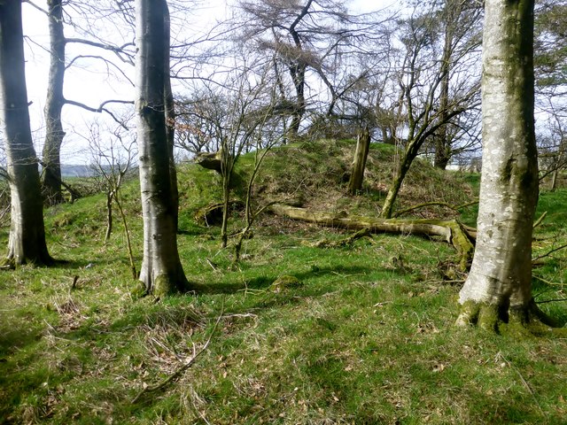
Walked up to masts then check out mound in copse and then trig with Alex.
Name: Bulbarrow Hill
Hill number: 2899
Height: 274m / 899ft
Parent (Ma/M): 2896 Lewesdon Hill
Section: 41: South Central England
County/UA: Dorset (CoU)
Class: HuMP, Tump (200-299m), subMarilyn
Grid ref: ST 77850 05582
Summit feature: no feature: ground on E perimeter of copse by smaller mast
Drop: 141m
Col: 133m ST757042
 Map © Crown Copyright")
TIP: Click the map for more Large scale mapping
- Grid Square
- ST7705, 26 images (more nearby 🔍)
- Photographer
- Rude Health (more nearby)
- Date Taken
- Friday, 27 March, 2015 (more nearby)
- Submitted
- Saturday, 4 April, 2015
- Subject Location
-
OSGB36:
 ST 7782 0557 [10m precision]
WGS84: 50:50.9532N 2:18.9859W - Camera Location
-
OSGB36: ST 7783 0557
- View Direction
- WEST (about 270 degrees)