2015
ST5602 : Rampisham St Michael and All Angels
taken 9 years ago, near to Rampisham, Dorset, England
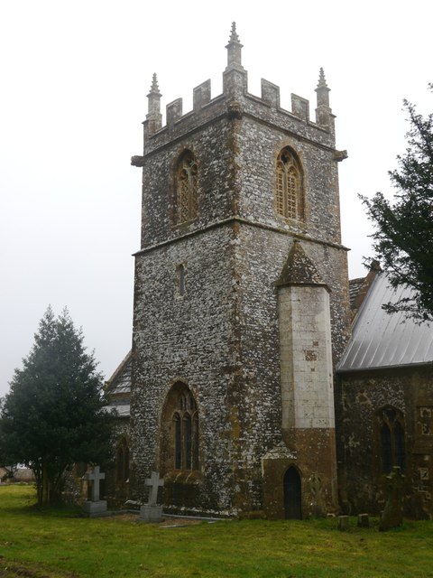
Rampisham St Michael and All Angels
 Map © Crown Copyright")
TIP: Click the map for more Large scale mapping
- Grid Square
- ST5602, 55 images (more nearby 🔍)
- Photographer
- Brian Westlake (more nearby)
- Date Taken
- Saturday, 28 March, 2015 (more nearby)
- Submitted
- Saturday, 4 April, 2015
- Subject Location
-
OSGB36:
 ST 5617 0219 [10m precision]
WGS84: 50:49.0552N 2:37.4127W - Camera Location
-
OSGB36: ST 5618 0218
- View Direction
- Northwest (about 315 degrees)