2015
NO0610 : Track to Path of Condie
taken 9 years ago, near to Path of Condie, Perth And Kinross, Scotland
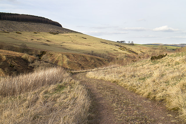
Track to Path of Condie
A track above the Water of may linking Path of Condie and the Clow Bridge.
 Map © Crown Copyright")
TIP: Click the map for more Large scale mapping
- Grid Square
- NO0610, 11 images (more nearby 🔍)
- Photographer
- William Starkey (more nearby)
- Date Taken
- Monday, 6 April, 2015 (more nearby)
- Submitted
- Monday, 6 April, 2015
- Subject Location
-
OSGB36:
 NO 060 109 [100m precision]
WGS84: 56:16.8950N 3:31.1626W - Camera Location
-
OSGB36: NO 060 109
- View Direction
- Northeast (about 45 degrees)