2015
NU0113 : The public byway crosses the boundary of access land
taken 9 years ago, near to Prendwick, Northumberland, England
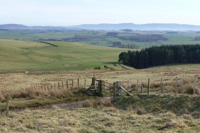
The public byway crosses the boundary of access land
The ground slopes to the Rocky Burn down by the forest.
 Map © Crown Copyright")
TIP: Click the map for more Large scale mapping
- Grid Square
- NU0113, 24 images (more nearby 🔍)
- Photographer
- Russel Wills (more nearby)
- Date Taken
- Monday, 6 April, 2015 (more nearby)
- Submitted
- Monday, 6 April, 2015
- Subject Location
-
OSGB36:
 NU 0103 1339 [10m precision]
WGS84: 55:24.8658N 1:59.1169W - Camera Location
-
OSGB36: NU 01001 13573
- View Direction
- SOUTH (about 180 degrees)