2015
SO6275 : Field, Earls Ditton
taken 9 years ago, near to Hopton Wafers, Shropshire, England
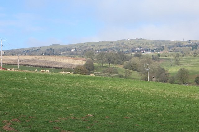
Field, Earls Ditton
Farmland on the slopes of Clee Hill. The Ditton Brook is marked by a line of trees.
 Map © Crown Copyright")
TIP: Click the map for more Large scale mapping
- Grid Square
- SO6275, 6 images (more nearby 🔍)
- Photographer
- Richard Webb (more nearby)
- Date Taken
- Sunday, 5 April, 2015 (more nearby)
- Submitted
- Friday, 10 April, 2015
- Subject Location
-
OSGB36:
 SO 6294 7573 [10m precision]
WGS84: 52:22.7007N 2:32.7509W - Camera Location
-
OSGB36: SO 6299 7569
- View Direction
- Northwest (about 315 degrees)