2015
NJ7147 : Burn of Gask
taken 9 years ago, 3 km from Turriff, Aberdeenshire, Scotland
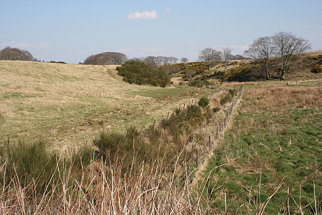
Burn of Gask
The burn is clearly too small to have created this wide valley, which is in fact a meltwater channel carved by the melt from a glacier at the end of the last Ice Age some 10,000 years ago.
 Map © Crown Copyright")
TIP: Click the map for more Large scale mapping
- Grid Square
- NJ7147, 6 images (more nearby 🔍)
- Photographer
- Anne Burgess (more nearby)
- Date Taken
- Thursday, 9 April, 2015 (more nearby)
- Submitted
- Friday, 10 April, 2015
- Subject Location
-
OSGB36:
 NJ 7134 4709 [10m precision]
WGS84: 57:30.7847N 2:28.8019W - Camera Location
-
OSGB36: NJ 7122 4704
- View Direction
- East-northeast (about 67 degrees)