2015
NZ3460 : Public bridleway, West Boldon
taken 9 years ago, near to West Boldon, South Tyneside, England
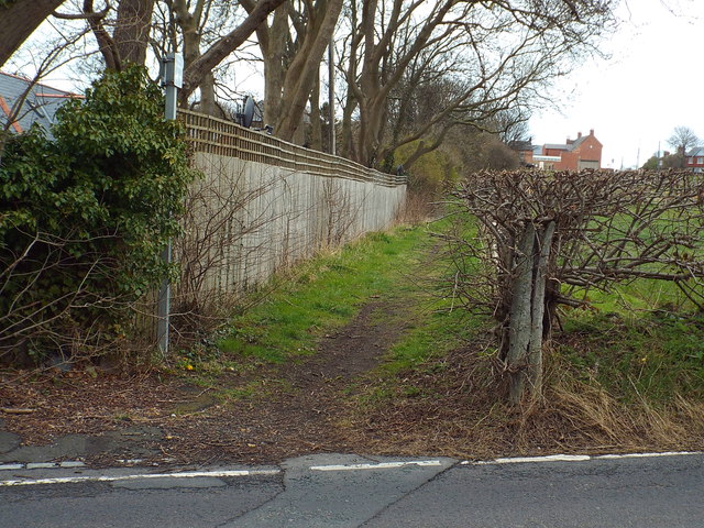
Public bridleway, West Boldon
This short bridleway connects Downhill Lane and Hylton Lane in West Boldon.
 Map © Crown Copyright")
TIP: Click the map for more Large scale mapping
- Grid Square
- NZ3460, 14 images (more nearby 🔍)
- Photographer
- Malc McDonald (more nearby)
- Date Taken
- Saturday, 4 April, 2015 (more nearby)
- Submitted
- Friday, 10 April, 2015
- Subject Location
-
OSGB36:
 NZ 3489 6091 [10m precision]
WGS84: 54:56.4984N 1:27.4146W - Camera Location
-
OSGB36: NZ 3488 6090
- View Direction
- Northeast (about 45 degrees)