2015
SJ6804 : Madeley
taken 9 years ago, near to Coalport, Telford And Wrekin, England
Madeley
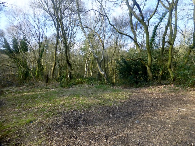
Parked near bungalows to west and found track to summit area. A local that I met told me that it was formed from the spoil of a local mine workings.
Name: Madeley
Hill number: 17194
Height: 162m / 531ft
Parent (Ma/M): 2843 The Wrekin
Section: 38A: Shropshire
County/UA: Telford and Wrekin (UA)
Class: Tump (100-199m)
Grid ref: SJ 68872 04109
Summit feature: knoll in clearing
Drop: 49m
Col: 113m SJ688052
Name: Madeley
Hill number: 17194
Height: 162m / 531ft
Parent (Ma/M): 2843 The Wrekin
Section: 38A: Shropshire
County/UA: Telford and Wrekin (UA)
Class: Tump (100-199m)
Grid ref: SJ 68872 04109
Summit feature: knoll in clearing
Drop: 49m
Col: 113m SJ688052
 Map © Crown Copyright")
TIP: Click the map for more Large scale mapping
- Grid Square
- SJ6804, 20 images (more nearby 🔍)
- Photographer
- Rude Health (more nearby)
- Date Taken
- Wednesday, 25 March, 2015 (more nearby)
- Submitted
- Sunday, 12 April, 2015
- Subject Location
-
OSGB36:
 SJ 68872 04109 [1m precision]
WGS84: 52:38.0299N 2:27.6824W - Camera Location
-
OSGB36: SJ 6885 0407
- View Direction
- North-northeast (about 22 degrees)