2015
SD7913 : Springside Farm
taken 9 years ago, near to Walmersley, Bury, England
This is 1 of 4 images, with title Springside Farm in this square
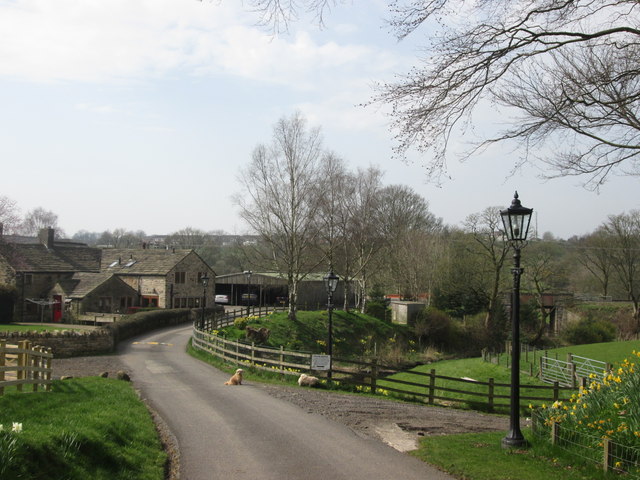
Springside Farm
 Map © Crown Copyright")
TIP: Click the map for more Large scale mapping
- Grid Square
- SD7913, 85 images (more nearby 🔍)
- Photographer
- John Slater (more nearby)
- Date Taken
- Friday, 10 April, 2015 (more nearby)
- Submitted
- Monday, 13 April, 2015
- Subject Location
-
OSGB36:
 SD 7970 1365 [10m precision]
WGS84: 53:37.1397N 2:18.5015W - Camera Location
-
OSGB36: SD 7973 1369
- View Direction
- Southwest (about 225 degrees)