2015
SO8294 : Tinkers Castle Road
taken 9 years ago, near to Seisdon, Staffordshire, England
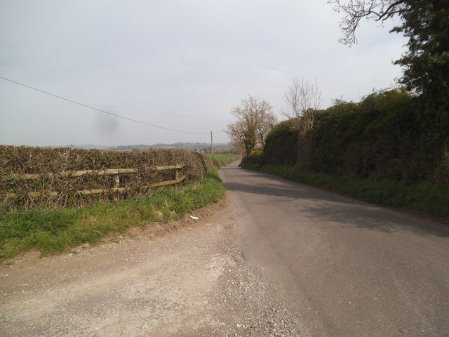
Tinkers Castle Road
The view down the road from Wolmore Lane on the Staffordshire Way near Seisdon.
 Map © Crown Copyright")
TIP: Click the map for more Large scale mapping
- Grid Square
- SO8294, 42 images (more nearby 🔍)
- Photographer
- Gordon Griffiths (more nearby)
- Date Taken
- Friday, 10 April, 2015 (more nearby)
- Submitted
- Tuesday, 14 April, 2015
- Subject Location
-
OSGB36:
 SO 8271 9447 [10m precision]
WGS84: 52:32.8680N 2:15.3842W - Camera Location
-
OSGB36: SO 8263 9444
- View Direction
- East-northeast (about 67 degrees)