2015
NH1478 : Bend in the Dundonnell River
taken 9 years ago, near to Fain, Highland, Scotland
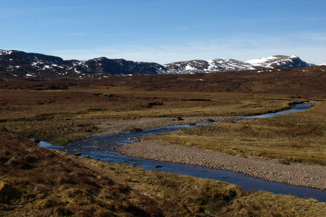
Bend in the Dundonnell River
The photo was taken from about the same spot as NH1478 : Dundonnell River, and shows the meanders of the river at this point.
 Map © Crown Copyright")
TIP: Click the map for more Large scale mapping
- Grid Square
- NH1478, 28 images (more nearby 🔍)
- Photographer
- Carron K (more nearby)
- Date Taken
- Sunday, 5 April, 2015 (more nearby)
- Submitted
- Wednesday, 15 April, 2015
- Subject Location
-
OSGB36:
 NH 142 786 [100m precision]
WGS84: 57:45.5490N 5:7.4077W - Camera Location
-
OSGB36: NH 142 787
- View Direction
- South-southwest (about 202 degrees)