2015
SX6165 : Boundary Stone, Lancombe Hill
taken 9 years ago, near to Langcombe Hill [hill or Mountain], Devon, Great Britain
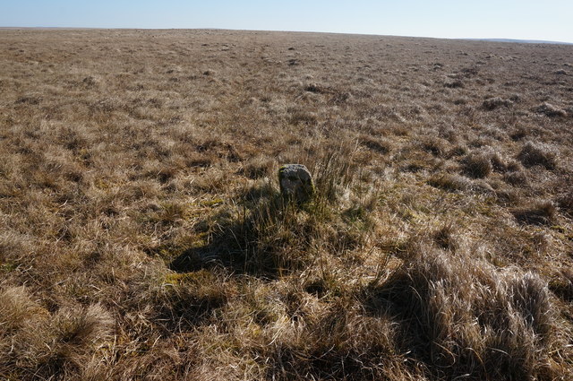
Boundary Stone, Lancombe Hill
The stone is the only thing taller than the grasses in this whole wet, boggy area.
 Map © Crown Copyright")
TIP: Click the map for more Large scale mapping
- Grid Square
- SX6165, 18 images (more nearby 🔍)
- Photographer
- jeff collins (more nearby)
- Date Taken
- Tuesday, 14 April, 2015 (more nearby)
- Submitted
- Thursday, 16 April, 2015
- Subject Location
-
OSGB36:
 SX 6149 6546 [10m precision]
WGS84: 50:28.3533N 3:57.1954W - Camera Location
-
OSGB36: SX 6148 6547
- View Direction
- East-southeast (about 112 degrees)