2015
SY9488 : View Towards Wareham
taken 9 years ago, near to Ridge, Dorset, England
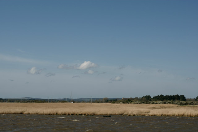
View Towards Wareham
Seen from the upper reach of Wareham Channel, as it turns south to loop around Swineham Point and into the River Frome. The church is just visible, beyond the reeds, in the centre of picture.
 Map © Crown Copyright")
TIP: Click the map for more Large scale mapping
- Grid Square
- SY9488, 13 images (more nearby 🔍)
- Photographer
- Peter Trimming (more nearby)
- Date Taken
- Saturday, 18 April, 2015 (more nearby)
- Submitted
- Monday, 20 April, 2015
- Subject Location
-
OSGB36:
 SY 9456 8811 [10m precision]
WGS84: 50:41.5567N 2:4.7028W - Camera Location
-
OSGB36: SY 9460 8814
- View Direction
- West-southwest (about 247 degrees)