2015
H5488 : Magherabrack Road, Gorticashel Lower
taken 9 years ago, 6 km SW of Cranagh, Co Tyrone, Northern Ireland
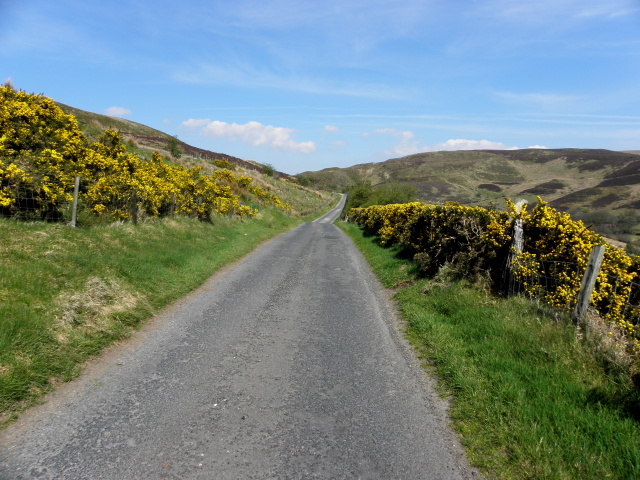
Magherabrack Road, Gorticashel Lower
Heading north-east
Loading map... (JavaScript required)
- Grid Square
- H5488, 42 images (more nearby 🔍)
- Photographer
- Kenneth Allen (more nearby)
- Date Taken
- Thursday, 23 April, 2015 (more nearby)
- Submitted
- Thursday, 23 April, 2015
- Subject Location
-
Irish:
 H 549 889 [100m precision]
WGS84: 54:44.7525N 7:8.8675W - Camera Location
-
Irish: H 549 889
- View Direction
- North-northeast (about 22 degrees)