2014
NS8813 : Council area sign, head of Glengonnar
taken 10 years ago, near to Wanlockhead, Dumfries And Galloway, Scotland
This is 1 of 2 images, with title Council area sign, head of Glengonnar in this square
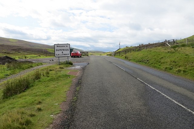
Council area sign, head of Glengonnar
Between Leadhills and Wanlockhead.
 Map © Crown Copyright")
TIP: Click the map for more Large scale mapping
- Grid Square
- NS8813, 67 images (more nearby 🔍)
- Photographer
- Richard Webb (more nearby)
- Date Taken
- Friday, 15 August, 2014 (more nearby)
- Submitted
- Thursday, 23 April, 2015
- Subject Location
-
OSGB36:
 NS 8801 1345 [10m precision]
WGS84: 55:24.1295N 3:46.2021W - Camera Location
-
OSGB36: NS 8802 1347
- View Direction
- South-southwest (about 202 degrees)