2015
NJ7655 : Bogmore Burn
taken 9 years ago, near to Milltown of Craigston, Aberdeenshire, Scotland
This is 1 of 2 images, with title Bogmore Burn in this square
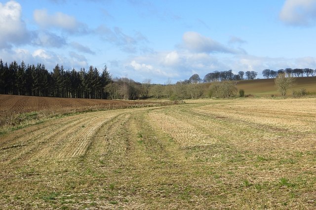
Bogmore Burn
A burn flowing through arable farmland.
 Map © Crown Copyright")
TIP: Click the map for more Large scale mapping
- Grid Square
- NJ7655, 10 images (more nearby 🔍)
- Photographer
- Richard Webb (more nearby)
- Date Taken
- Wednesday, 15 April, 2015 (more nearby)
- Submitted
- Saturday, 25 April, 2015
- Subject Location
-
OSGB36:
 NJ 7643 5559 [10m precision]
WGS84: 57:35.3833N 2:23.7541W - Camera Location
-
OSGB36: NJ 7649 5564
- View Direction
- Southwest (about 225 degrees)