2015
SX2676 : Lynher valley near North Hill
taken 9 years ago, near to North Hill, Cornwall, England
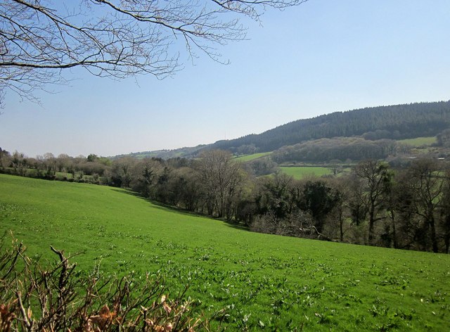
Lynher valley near North Hill
From the lane shown in SX2676 : Lynher Way. The long belt of woodland across the field on this side of the valley is unnamed on maps. On the far horizon, Bowdanoddon Wood climbs to the moor.
 Map © Crown Copyright")
TIP: Click the map for more Large scale mapping
- Grid Square
- SX2676, 19 images (more nearby 🔍)
- Photographer
- Derek Harper (more nearby)
- Date Taken
- Monday, 20 April, 2015 (more nearby)
- Submitted
- Monday, 27 April, 2015
- Subject Location
-
OSGB36:
 SX 267 768 [100m precision]
WGS84: 50:33.9111N 4:26.9017W - Camera Location
-
OSGB36: SX 2676 7697
- View Direction
- SOUTH (about 180 degrees)