2015
SN2520 : Footpath obstruction near Llangynin
taken 9 years ago, near to Llangynin, Carmarthenshire/Sir Gaerfyrddin, Wales
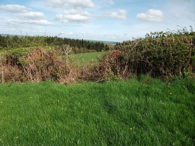
Footpath obstruction near Llangynin
Hedges and barbed wire fences across footpaths are common (almost standard) in this part of Carmarthenshire
 Map © Crown Copyright")
TIP: Click the map for more Large scale mapping
- Grid Square
- SN2520, 6 images (more nearby 🔍)
- Photographer
- Alistair Hare (more nearby)
- Date Taken
- Tuesday, 28 April, 2015 (more nearby)
- Submitted
- Wednesday, 29 April, 2015
- Subject Location
-
OSGB36:
 SN 2507 2015 [10m precision]
WGS84: 51:51.1474N 4:32.4785W - Camera Location
-
OSGB36: SN 2505 2016
- View Direction
- East-southeast (about 112 degrees)