2015
SN6970 : Track to Nant-byr-uchaf farm
taken 9 years ago, near to Tynygraig, Ceredigion/Sir Ceredigion, Wales
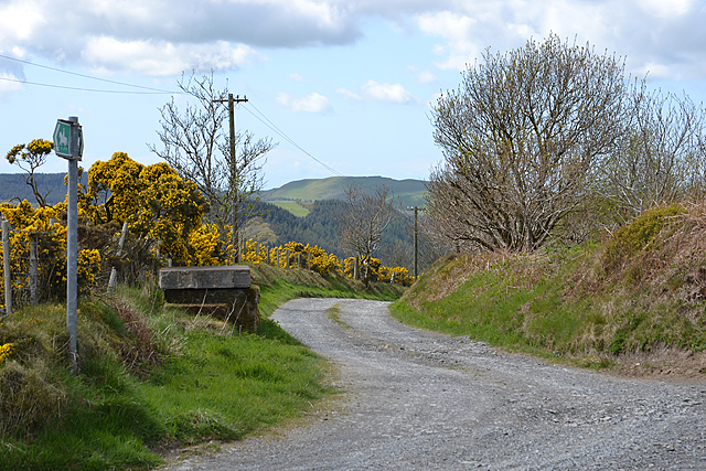
Track to Nant-byr-uchaf farm
Also a bridleway which ends up at Tegfriw-fawr farm on the B4340.
 Map © Crown Copyright")
TIP: Click the map for more Large scale mapping
- Grid Square
- SN6970, 12 images (more nearby 🔍)
- Photographer
- Nigel Brown (more nearby)
- Date Taken
- Thursday, 30 April, 2015 (more nearby)
- Submitted
- Thursday, 30 April, 2015
- Subject Location
-
OSGB36:
 SN 6977 7030 [10m precision]
WGS84: 52:18.9188N 3:54.7144W - Camera Location
-
OSGB36: SN 6979 7029
- View Direction
- West-northwest (about 292 degrees)