2015
NS2380 : Rosneath Road, Kilcreggan
taken 9 years ago, near to Kilcreggan, Argyll And Bute, Scotland
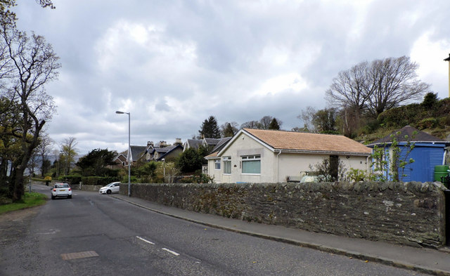
Rosneath Road, Kilcreggan
Looking towards Donaldson's Brae, where this road (the B833) becomes Shore Road.
 Map © Crown Copyright")
TIP: Click the map for more Large scale mapping
- Grid Square
- NS2380, 74 images (more nearby 🔍)
- Photographer
- Thomas Nugent (more nearby)
- Date Taken
- Monday, 27 April, 2015 (more nearby)
- Submitted
- Saturday, 2 May, 2015
- Subject Location
-
OSGB36:
 NS 2391 8040 [10m precision]
WGS84: 55:59.0501N 4:49.4508W - Camera Location
-
OSGB36: NS 2395 8041
- View Direction
- West-southwest (about 247 degrees)