2014
SK0571 : Path to Solomon's Tower
taken 10 years ago, near to Buxton, Derbyshire, England
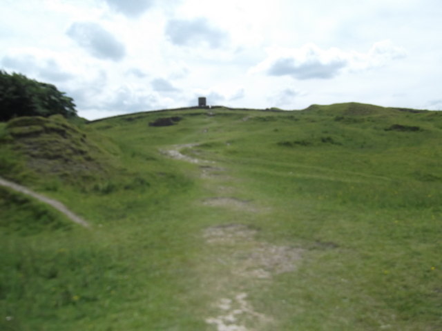
Path to Solomon's Tower
Also known as Grinlow Tower, this is a Victorian Fortified hill marker said to have been built by Solomon Mycock in the 1890s, and paid for by public subscription to provide work for the locally unemployed. The tower was restored in 1998 by public subscription. It is 20-foot-high, and was built on top of a Bronze Age barrow. From the open top of the tower there are good views over the town and the surrounding countryside and parts of the Peak District. The tower does not contain anything other than the staircase to the top.
 Map © Crown Copyright")
TIP: Click the map for more Large scale mapping
- Grid Square
- SK0571, 94 images (more nearby 🔍)
- Photographer
- Eirian Evans (more nearby)
- Date Taken
- Sunday, 13 July, 2014 (more nearby)
- Submitted
- Sunday, 3 May, 2015
- Subject Location
-
OSGB36:
 SK 054 719 [100m precision]
WGS84: 53:14.6511N 1:55.2054W - Camera Location
-
OSGB36: SK 054 719
- View Direction
- SOUTH (about 180 degrees)