2015
NZ1981 : Drainage ditch
taken 9 years ago, near to Saltwick, Northumberland, England
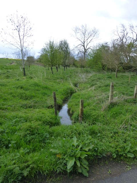
Drainage ditch
Running into the Catraw Burn.
 Map © Crown Copyright")
TIP: Click the map for more Large scale mapping
- Grid Square
- NZ1981, 14 images (more nearby 🔍)
- Photographer
- Russel Wills (more nearby)
- Date Taken
- Wednesday, 6 May, 2015 (more nearby)
- Submitted
- Wednesday, 6 May, 2015
- Subject Location
-
OSGB36:
 NZ 1917 8109 [10m precision]
WGS84: 55:7.4295N 1:42.0565W - Camera Location
-
OSGB36: NZ 19180 81053
- View Direction
- North-northwest (about 337 degrees)