2015
NM6532 : Older alignment of A849 below Bràigh an Fhirich
taken 9 years ago, 4 km WNW of Strathcoil, Isle of Mull, Argyll And Bute, Scotland
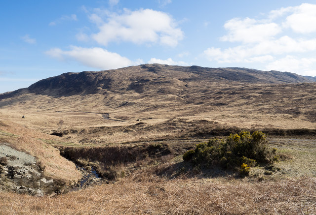
Older alignment of A849 below Bràigh an Fhirich
Bràigh an Fhirich is a location at the top of the distant slope. The earlier line of the A849 can be seen cutting through the centre of the image.
 Map © Crown Copyright")
TIP: Click the map for more Large scale mapping
- Grid Square
- NM6532, 13 images (more nearby 🔍)
- Photographer
- Trevor Littlewood (more nearby)
- Date Taken
- Thursday, 23 April, 2015 (more nearby)
- Submitted
- Thursday, 7 May, 2015
- Subject Location
-
OSGB36:
 NM 6518 3238 [10m precision]
WGS84: 56:25.5016N 5:48.5727W - Camera Location
-
OSGB36: NM 6508 3253
- View Direction
- Southeast (about 135 degrees)