2011
J3324 : Partially burnt moorland vegetation above the Annalong River
taken 13 years ago, 6 km NW of Annalong, Co Down, Northern Ireland
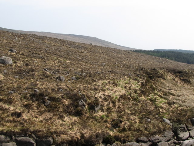
Partially burnt moorland vegetation above the Annalong River
Loading map... (JavaScript required)
- Grid Square
- J3324, 94 images (more nearby 🔍)
- Photographer
- Eric Jones (more nearby)
- Date Taken
- Friday, 29 April, 2011 (more nearby)
- Submitted
- Friday, 8 May, 2015
- Subject Location
-
Irish:
 J 339 248 [100m precision]
WGS84: 54:9.2973N 5:56.9954W - Camera Location
-
Irish: J 339 248
- View Direction
- Southeast (about 135 degrees)