2015
ST1035 : Channel to Channel (460)
taken 9 years ago, near to Lower Vexford, Somerset, England
Channel to Channel (460)
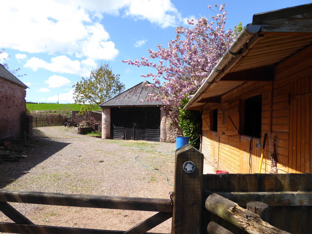
The path leads out of the farm buildings to the road.
 Map © Crown Copyright")
TIP: Click the map for more Large scale mapping
- Grid Square
- ST1035, 17 images (more nearby 🔍)
- Photographer
- Shazz (more nearby)
- Date Taken
- Thursday, 30 April, 2015 (more nearby)
- Submitted
- Sunday, 10 May, 2015
- Subject Location
-
OSGB36:
 ST 1084 3506 [10m precision]
WGS84: 51:6.4726N 3:16.4973W - Camera Location
-
OSGB36: ST 1086 3506
- View Direction
- WEST (about 270 degrees)