2015
TQ8925 : Gate by River Rother
taken 9 years ago, near to Wittersham, Kent, England
This is 1 of 2 images, with title Gate by River Rother in this square
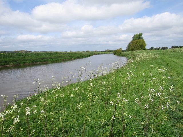
Gate by River Rother
River Rother
The River Rother runs for 35 miles from Rotherfield, East Sussex, entering Kent after Bodiam where it follows the county border to Wittersham, where it rejoins East Sussex to the mouth at Rye.
There are two other River Rothers in Yorkshire and in Hampshire to West Sussex.
Rother Levels
The Rother Levels are an area of reclaimed land around the lower course of the River Rother on the Kent - East Sussex border. At one time the sea occupied the area, but gradually the area silted up and over time was drained and reclaimed. The Isle of Oxney sits in the middle of the levels.
 Map © Crown Copyright")
TIP: Click the map for more Large scale mapping
- Grid Square
- TQ8925, 62 images (more nearby 🔍)
- Photographer
- Oast House Archive (more nearby)
- Date Taken
- Sunday, 10 May, 2015 (more nearby)
- Submitted
- Sunday, 10 May, 2015
- Subject Location
-
OSGB36:
 TQ 896 254 [100m precision]
WGS84: 50:59.8039N 0:42.0952E - Camera Location
-
OSGB36: TQ 896 253
- View Direction
- North-northwest (about 337 degrees)