2015
NU2033 : B1340 towards Seahouses
taken 9 years ago, near to Red Barns, Northumberland, England
This is 1 of 2 images, with title B1340 towards Seahouses in this square
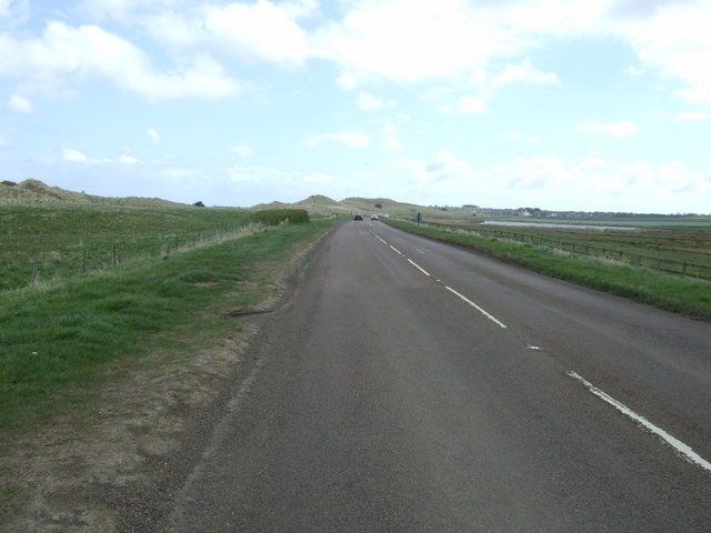
B1340 towards Seahouses
Heading south east.
 Map © Crown Copyright")
TIP: Click the map for more Large scale mapping
- Grid Square
- NU2033, 100 images (more nearby 🔍)
- Photographer
- JThomas (more nearby)
- Date Taken
- Thursday, 30 April, 2015 (more nearby)
- Submitted
- Sunday, 10 May, 2015
- Subject Location
-
OSGB36:
 NU 2047 3341 [10m precision]
WGS84: 55:35.6336N 1:40.6052W - Camera Location
-
OSGB36: NU 20424 33457
- View Direction
- Southeast (about 135 degrees)