2015
TF4549 : Second of two sea banks reached by Sea Lane on Wrangle Flats
taken 9 years ago, 3 km from Wrangle Lowgate, Lincolnshire, England
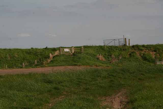
Second of two sea banks reached by Sea Lane on Wrangle Flats
 Map © Crown Copyright")
TIP: Click the map for more Large scale mapping
- Grid Square
- TF4549, 20 images (more nearby 🔍)
- Photographer
- Chris (more nearby)
- Date Taken
- Sunday, 10 May, 2015 (more nearby)
- Submitted
- Tuesday, 12 May, 2015
- Subject Location
-
OSGB36:
 TF 4583 4973 [10m precision]
WGS84: 53:1.4996N 0:10.3724E - Camera Location
-
OSGB36: TF 4581 4974
- View Direction
- Southeast (about 135 degrees)